|
Bridgeton - Dalmarnock boundaries
The boundary between the lands of Dalmarnock and Bridgeton, formerly called
Bridge Town, was delineated by a burn that ran between what is now called
Dunn Street and Nuneaton Street, crossed Dalmarnock Road and went down what
is known as Bartholomew Street and continued down what is known as Carstairs
Street before outfalling to the River Clyde.
According to the 1816 Ordnance Survey map Webster Street and all streets
east of Carstairs Street, i.e. Swanston Street and Mordaunt Street are in
Dalmarnock.
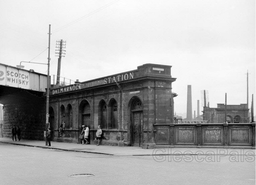
The Railway and its bridges were later built on the lands of Dalmarnock and
"Dalmarnock House" located between Swanston Street, the new railway
line and Strathclyde Street was still standing and is shown on the 1892
Ordnance Survey map.
The main "Dalmarnock House", was located further east between
Dalmarnock Road, Allan Street and the River Clyde all as shown on the 1897
Ordnance Survey Map.
|